Geo Field Work (Cape Enrage 2012) - Part 3
Continued from Part 2
May 26th, 2012


On to Part 4
May 26th, 2012
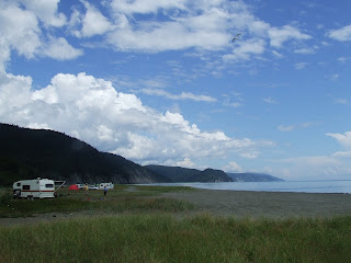
We picked off from where we left from earlier that month. I was a little bit concerned about the weather conditions but by the time we got there, they improved enough so that it wouldn't make me miserable and wet. We had previously hauled some trackways from the site, and there was a good chance that we would stumble on more as we had only closely combed half the beach.
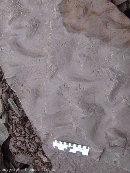
We got to the location where we had stopped on the last field trip. From there we inspected a set of trackways that turned up to look like diplichnites.

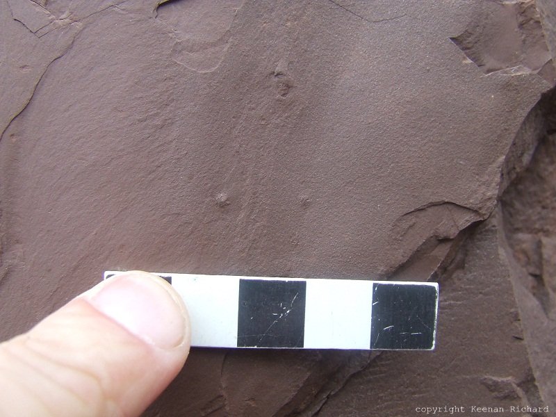
A single set of tracks that run vertically with two parallel rows of dotted depressions. So far these are the only set of tracks of that type I've seen on site this year.

In between breaks of doing stratigraphic work, we kept stumbling on various sorts of trackways and interesting topographic features as the day went by. Even without a shining bright Sun, we still managed to spot trackways bordering the micro scale such as burrows, invertebrate tracks, microbial mats, etc. I won't even attempt to name or categorize as I'm just not familiar enough with these to identify them. With time I endeavor in improving my identification skills, focusing on the Carboniferous.
Burrows

Trace

Dropping by to check on and old friend


Possible fault


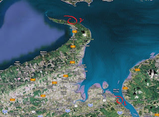
Some of the trackways that were found on the beach probably came from strata located at high altitude. Some of the sandstone blocks with trackways that we had come across matched with some of the sandstone layers sometimes located not to far from where these were found. We have to factor in the tidal force of the Fundy tides as they could also have come from other areas. So this could make our work a little bit more difficult.

Looking for something aaaaaaaand.........
...he found it!
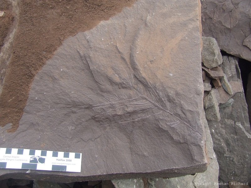
This is one of the rare plants that we found in this typical type of strata. The gray material is rich in plant biomass, but the red sandstone, not so much.

Another fault, movement, slip?

Stratigraphy on the fly
Nearing the end of our field work day, we saved the best for last. We came upon a slab of sandstone that we had identified as being detached from a larger block near the top of the cliff. This block featured some wave ripples, but also sporting something more interesting: trackways!

This slab had some sets of tracks that ran along the slab. The depressions could be seen at a fair distance even in poor lighting conditions. We had to clear some of the loose debris to be able to have an idea of the size of the tracks.

We estimated that the block of sandstone that the tracks were setting on was quite thick. Remembering the set of tracks we had dealt last year, we realized the amount of work we would have to do if we decided to save these from certain destruction.
It was getting late, so we left some sort of identification near the trackways, covered them from protection against the elements and fallen debris, and made our way back to the car. We still had a final stretch of beach to do. We decided to think on it and figure it all out next time we would come back.
On to Part 4
Disclaimer: In New Brunswick under the 'Heritage Conservation Act', fossils discovered must not be destroyed or removed from sites where they are found without a permit. It is every one's civic duty to report any finds to the New Brunswick Museum (https://www.nbm-mnb.ca/). This encourages the contribution these finds could make to science not just in the province, but on the global stage. You must also seek permission if you are to enter private land.